Quarry Turnkey Drilling by Geological Domain: Hole Patterns, Equipment Lists, and Blast Efficiency Standards
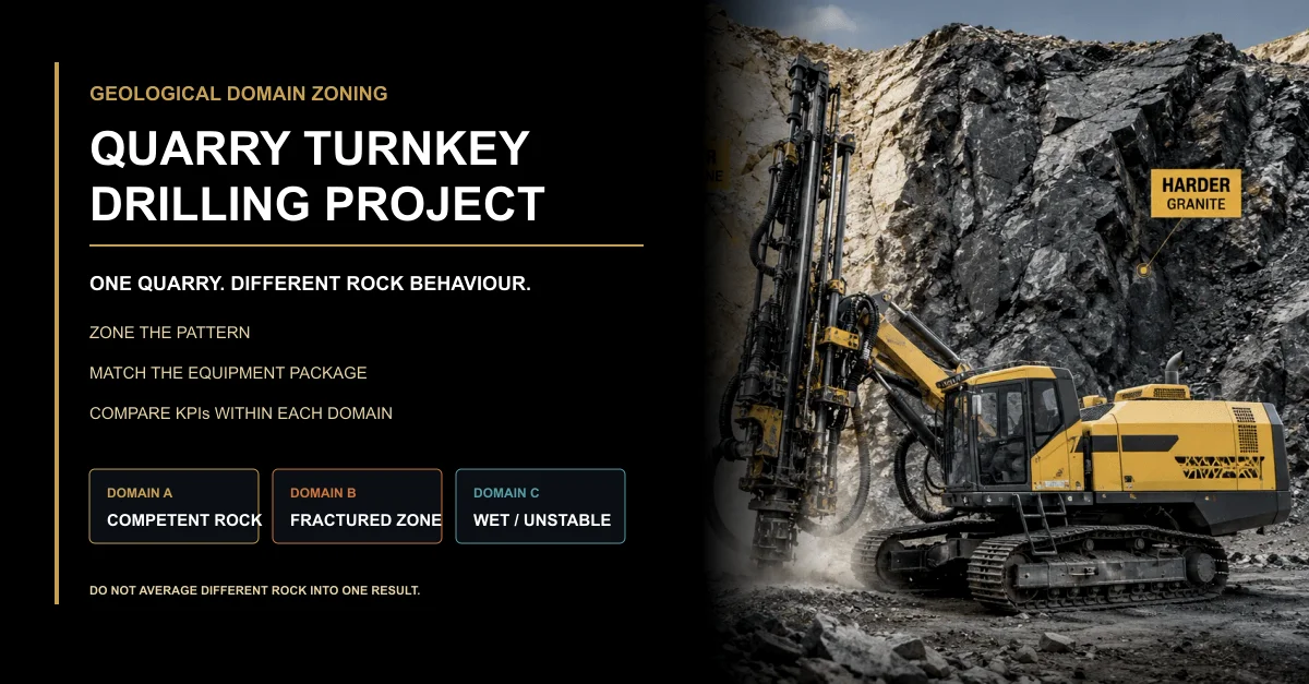
A quarry may look like one production site on the map, but it rarely behaves like one uniform drilling environment. Competent rock, fractured bands, weathered seams, wet zones, and unstable sections can require different pattern assumptions, equipment controls, and performance baselines. A practical turnkey project must recognize those geological domains before production drilling begins.
Table of Contents
One Quarry, Three Different Drilling Behaviours
A production bench crossed three geological conditions.
The first section was competent rock. Hole cleaning remained stable, the rig held its setup, and tool wear progressed predictably.
The second section entered a fractured band. Penetration changed, the hole path became less consistent, and several holes required additional attention before they could be accepted as ready.
The third section contained water and unstable material. Cuttings return became irregular, cleaning time increased, and the crew could no longer treat logged drilling depth as automatic proof of usable hole condition.
The same pattern drawing, rig, compressor, tooling package, and blast KPI table had been assigned to all three sections.
The real question is not whether one configuration can physically drill across the quarry. It is whether that configuration and its control method can deliver repeatable evidence in every geological domain.
Build the Geological Domain Map First
Geological domain zoning divides the quarry into operating areas that are expected to respond differently to drilling and downstream production. The domains do not need to follow administrative bench boundaries. They should follow the conditions that materially change hole delivery, equipment demand, or result interpretation.
Useful inputs can include exposed rock condition, structural observations, water occurrence, historical drilling records, tool wear, penetration behaviour, hole-cleaning performance, deviation evidence, blocked-hole locations, floor condition, oversize distribution, and crusher response.
A domain map is not a permanent geological truth. It is a controlled operating model that should be revised when field evidence repeatedly contradicts the original boundary.
Domain Indicator
Field Evidence
Operational Effect
Required Project Response
Competent, relatively uniform rock
Stable drilling response, predictable wear, consistent cleaning, repeatable hole condition
The project can establish a reliable reference condition
Use as a controlled baseline, not as a default for every other zone
Fractured or structurally variable rock
Changing penetration behaviour, unstable hole path, local collapse, repeated exceptions
Collar geometry may no longer predict the final position or usable condition
Increase field verification and isolate the affected holes from the competent-rock baseline
Weathered or weak material
Unstable walls, difficult re-entry, inconsistent cuttings return, changing setup support
Drilling procedure and hole acceptance may require different controls
Define a domain-specific operating method and exception rule
Wet or water-bearing zone
Water inflow, difficult cleaning, uncertain final-hole condition, increased delay
Air-path demand, cleaning method, consumables, and evidence requirements can change
Review the complete drilling package and maintain a separate result baseline
Mixed boundary zone
Two behaviours appear within the same row or hole group
Quarry-wide averages hide the transition risk
Mark the boundary, preserve hole identity, and compare results by location
Hole Pattern Design by Geological Domain
A hole pattern is not only a grid of collar points. Its purpose is to create a controlled relationship between the free face, the rock mass, the intended floor, and the holes actually delivered inside the bench.
If one pattern crosses several geological domains, the design basis must identify where the assumptions change. The project should not automatically transfer a pattern validated in competent rock into a fractured or wet zone without review.
Domain-specific planning should consider the following:
bench geometry and available free face;
rock competence, weathering, and structural variability;
risk of hole deviation or collapse;
expected cleaning and final-hole condition;
survey and measurement requirements;
replacement-hole and exception procedures;
how each hole remains linked to its geological domain;
how downstream results will be mapped back to the same domain.
A common mistake is to change burden or spacing immediately after a poor result without first confirming whether the affected holes belonged to a different geological domain or whether the as-drilled evidence was complete.
The verified quarry blast hole pattern design guide explains pattern variables, deviation, air demand, equipment matching, and field controls. Final site-specific design and regulated blast decisions must remain with qualified professionals.
Pattern-Control Area
Competent-Rock Domain
Fractured Domain
Wet or Unstable Domain
Design basis
Use controlled geometry and repeatable field evidence as the reference
Include structural variability and increased hole-path uncertainty
Include cleaning, collapse, blockage, and usable-hole-condition risks
Collar control
Standard survey and identification procedure
Preserve location evidence near structural boundaries
Confirm safe setup and any relocation caused by unstable ground
Depth evidence
Record planned and measured depth against one reference
Record blocked, corrected, or uncertain holes separately
Do not assume logged progress equals final usable condition
Hole-path evidence
Use the agreed verification frequency
Increase checks where directional behaviour repeats
Separate path uncertainty from cleaning or collapse problems
Exception handling
Apply the standard replacement-hole procedure
Link replacement holes to the original structural zone
Define hold, recovery, abandonment, and review responsibilities
Equipment List: Match the Package to Each Domain
The equipment list should show how the drilling system responds to each geological domain. A single rig model may remain suitable across the quarry, but the complete operating package, tooling strategy, measurement frequency, consumable allowance, and spare-part requirement may change by zone.
The package should include more than the primary rig:
drilling rig and setup systems;
compressor and complete air path;
hammer, bit, rods, adapters, and connection standard;
lubrication and dust or cuttings-control components;
survey and hole-verification tools;
domain-specific starter consumables and wear parts;
maintenance and recovery tools;
commissioning, operator training, and field records;
spares for leakage, wear, blockage, or connection failures.
In my view, a domain-based equipment list is more useful than a longer universal list. It explains why each component exists and which site condition it is intended to control.
Welldone Mining’s verified customized drilling solution matches rigs, compressors, hammers, bits, rods, accessories, spares, commissioning, and support to depth, diameter, formation, air demand, power source, and operating environment.
Equipment Group
Competent-Rock Requirement
Fractured-Zone Requirement
Wet or Unstable-Zone Requirement
Rig and setup control
Repeatable positioning, feed, and setup verification
Stronger exception logging and alignment checks
Safe setup, controlled recovery, and unstable-ground procedures
Air compressor and air path
Stable duty for the agreed diameter and depth
Monitor changing cleaning demand and leakage sensitivity
Review the full air path, cleaning response, and final-hole evidence
Hammer, bit, and rods
Manage penetration, wear, gauge, and connection condition
Watch directional behaviour, impact stability, and irregular wear
Prepare for blockage, re-entry, accelerated wear, or retrieval demands
Measurement tools
Routine collar, depth, and setup verification
Higher-frequency checks near structural boundaries
Record uncertainty, water, blockage, and actual usable condition
Spares and recovery tools
Normal wear and planned maintenance inventory
Extra tooling and connections for variable wear and exceptions
Recovery, cleaning, leakage, blockage, and replacement capacity
Use Drilling Evidence to Update Domain Boundaries
The initial domain map is a planning hypothesis. Production drilling should test it.
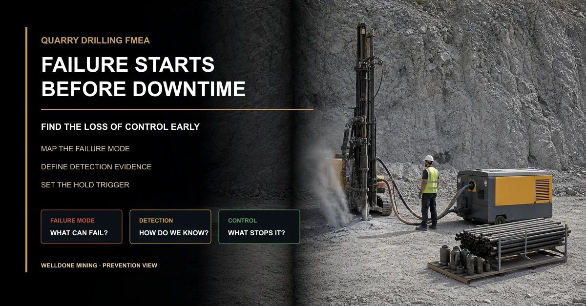
Useful indicators include penetration behaviour, pressure and flow stability, cuttings return, water occurrence, tool wear, vibration, blockage, re-entry frequency, hole deviation, drilling time, and maintenance demand.
The objective is not to redraw a geological map after every hole. It is to detect repeated operating changes that follow a location or boundary.
More importantly, preserve the raw field evidence. Averages can hide transitions. The hole ID, row, location, domain, equipment condition, exception, and final status should remain traceable.
Field Signal
Possible Interpretation
Verification Before Re-Zoning
Project Action
Sudden penetration change
Rock competence or structure may have changed
Check tooling, operating method, equipment condition, and adjacent holes
Mark a provisional boundary and collect repeated evidence
Recurring directional behaviour
Structural influence, setup variation, or tooling effect
Compare alignment, wear, operator, hole path, and geology
Increase verification and separate the affected group
Cleaning deteriorates in one area
Water, unstable ground, depth-related demand, or air-path problem
Inspect compressor duty, connections, leakage, cuttings, and water evidence
Do not change the domain until equipment-side causes are checked
Wear concentrates in one zone
Abrasivity or operating condition differs from the reference
Compare bit condition, duty, formation, and maintenance records
Adjust the domain-specific consumable and inspection plan
Repeated blocked or abandoned holes
Unstable, fractured, wet, or weathered material
Review location, depth, recovery attempt, water, cuttings, and adjacent holes
Create a controlled exception zone and review the operating method
Blast Efficiency Standards by Geological Domain
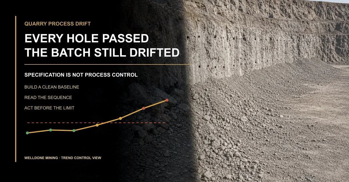
Blast efficiency should not be reduced to one quarry-wide fragmentation average. If the blast crosses multiple geological domains, the result must be segmented before the team changes the pattern or equipment package.
Useful outcome evidence can include:
toe and floor condition by zone;
fragmentation distribution by domain;
oversize location and frequency;
muckpile shape and diggability;
secondary-breaking demand;
loader performance and material handling;
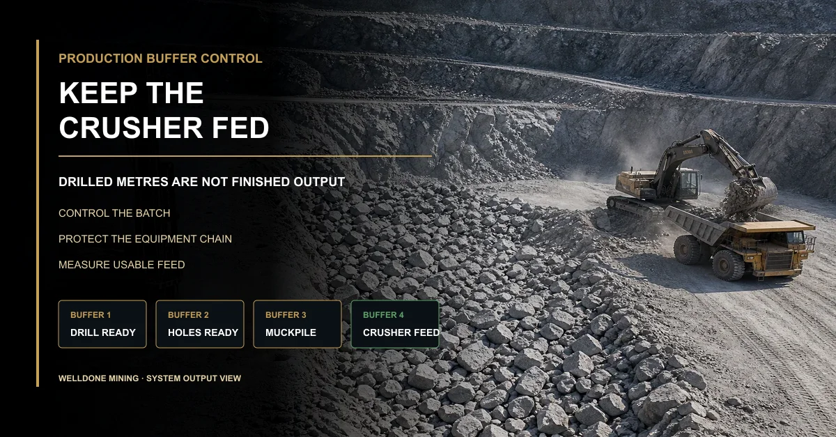
crusher blockage, starvation, and feed consistency;
required compliance and monitoring evidence.
A competent-rock domain may produce a stable reference result. A fractured domain may produce different fragmentation and muckpile behaviour even when the drilling records look similar. A wet or unstable domain may require separate evidence before the result can be compared fairly.
The verified quarry blast efficiency evaluation guide explains fragmentation, oversize, toe, muckpile, compliance evidence, downstream impact, and repeatable comparison.
Efficiency Measure
Why Domain Separation Matters
Evidence Required
Decision Use
Toe and floor condition
Bottom response can change with structure, water, usable hole condition, or delivery variation
Floor survey, domain map, as-drilled records, and qualified blast review
Identify which domain requires further investigation
Fragmentation
Rock competence and structure affect the size distribution
Consistent measurement, batch identity, domain boundary, and sample location
Avoid averaging easy and difficult zones into one misleading result
Oversize and secondary breaking
Concentrated oversize may follow a boundary rather than the complete pattern
Location map, affected holes, geology, and downstream handling record
Target the affected domain instead of redesigning the whole quarry
Muckpile and loading
Different domains can change pile position, looseness, and digging response
Photographs, loader context, location, access, and batch identity
Separate rock response from loading or access constraints
Crusher response
Feed from mixed domains can create unstable size and throughput patterns
Material-source traceability, operating status, blockage, starvation, and feed record
Connect plant loss to the source domain before changing drilling inputs
Why Quarry-Wide Averages Can Mislead
A quarry-wide average can improve while one difficult domain becomes worse. It can also deteriorate because production moved into a harder zone, even though the drilling package and field controls performed correctly.
Domain-based comparison separates three questions:
Did the geological mix change?
Did the drilling package deliver the expected hole condition within each domain?
Did the downstream result change after accounting for the domain?
A common mistake is to rank shifts or suppliers using metres drilled, tool consumption, or blast results without normalizing for the geological domain. That comparison rewards easy ground and penalizes teams working in difficult zones.
Domain zoning does not remove uncertainty. It makes the uncertainty visible enough to manage.
Turn Domain Zoning Into a Working Project System
The geological-domain model must appear in everyday project documents. Otherwise it remains a coloured map that production teams ignore.
Project Document
Required Domain Field
Operational Purpose
Review Trigger
Pattern drawing
Domain boundary, hole identity, design basis, and transition zone
Show where assumptions and controls change
Boundary moves or field evidence contradicts the plan
Equipment schedule
Required package, tooling, consumables, measurement, and recovery scope by domain
Prevent one universal list from hiding domain-specific needs
Wear, blockage, cleaning, or stability changes by zone
Drilling log
Hole ID, domain, condition, exception, equipment state, and final status
Link field behaviour to location and equipment condition
Repeated exceptions cluster in one area
Blast-result record
Batch, domain, toe, fragmentation, oversize, muckpile, and downstream context
Compare like with like
Results change within a stable domain or differ across a boundary
Improvement register
Evidence, hypothesis, controlled change, affected domain, and retest result
Prevent one change from being applied blindly across the quarry
A controlled test confirms or rejects the hypothesis
Why Welldone Mining
Welldone Mining configures the drilling system around the actual site duty rather than treating the quarry as one uniform operating condition.
Formation-based review: Rock condition, hole duty, depth, diameter, access, water, dust, and environment are reviewed before configuration.Connected equipment package: Rig, compressor, hammer, bit, rods, accessories, connections, spares, and maintenance requirements are matched as one system.Domain-aware support: Field behaviour, tooling condition, air-path performance, exceptions, and as-drilled evidence can be reviewed by location.Practical project boundary: Welldone Mining supports equipment matching and drilling-side evidence; qualified local professionals remain responsible for site-specific blast design and regulated execution.
Review the verified quarry drilling solution for quarry applications, drilling methods, equipment categories, and operating constraints.
Conclusion
One quarry does not automatically mean one drilling condition.
Divide the site where rock behaviour changes. Link every hole, equipment package, exception, and result to the correct geological domain. Then compare pattern delivery and blast efficiency within equivalent ground.
If the next bench crosses three geological domains, will your current project documents preserve the difference—or average it away?
Frequently Asked Questions
What is geological domain zoning in a quarry drilling project?
It is the division of the quarry into areas expected to behave differently during drilling and downstream production based on rock condition, structure, water, weathering, and field evidence.
Does each geological domain need a different drilling rig?
Not necessarily. One rig may cover several domains, but tooling, air-path requirements, consumables, verification frequency, spares, and operating procedures may need to change.
Should blast efficiency be compared across the whole quarry?
Quarry-wide totals can be useful, but technical diagnosis should compare equivalent geological domains and preserve the location of toe, oversize, fragmentation, loading, and crusher effects.
When should a geological-domain boundary be revised?
Revise it when repeated drilling, wear, water, blockage, deviation, or blast-result evidence contradicts the original boundary after equipment and operating causes have been checked.
Can Welldone Mining define the final blast design for each domain?
Welldone Mining can support equipment matching and drilling-side evidence. Qualified local professionals must define, approve, and execute site-specific regulated blasting work.
Written by: Welldone Mining Engineering TeamTechnical review: Mostafa Ansary, Technical Sales Manager — mechanical design and production-management background with 15 years in machinery and production fieldsMarket context: Welldone Mining Project Support Team — site-duty, equipment-matching, and field-evidence requirements
Stop Treating Different Rock as the Same Drilling Duty
Send the quarry layout, bench geometry, formation descriptions, hole duty, water and stability observations, available compressor data, tooling records, and production goals. Welldone Mining can help review a domain-based drilling equipment package .
Website: www.welldonemining.com
Email: info@welldonemining.com